From Point Cloud
to BIM Model.
We transform laser scan point clouds into precise BIM models, floor plans and area calculations for architects, engineers and construction professionals.
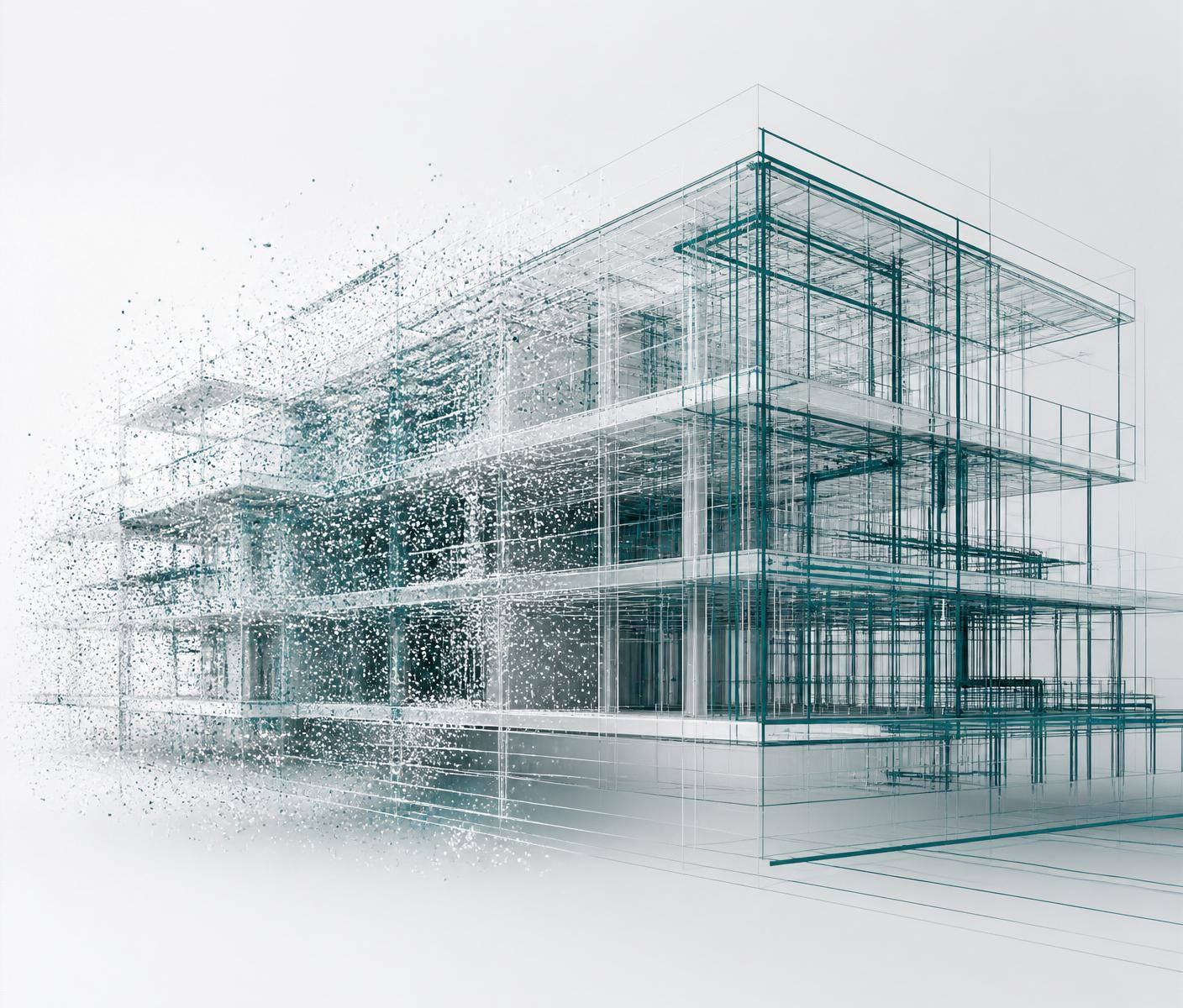
You send the scan. We deliver the model.
Send us your point cloud data and receive ready-to-use BIM files. That's it. No back-and-forth, no software required on your side.
- Laser Scan Point Clouds
- LiDAR Data
- Reality Capture Data
- BIM Models
- Revit Models
- CAD Drawings
- Floor Plans
- Area Calculations
Precise deliverables, engineered end-to-end.
Scan to BIM
Accurate BIM models from your point clouds, aligned to your project's LOD requirements.
- Autodesk Revit (RVT)
- IFC export
- LOD 100–400
- Existing buildings
- Renovation projects
- Facility management
Floor Plans
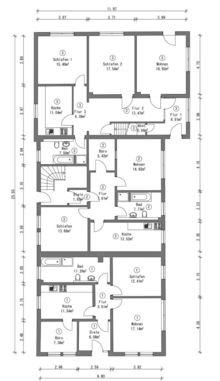
Professional architectural floor plans of existing conditions with precise dimensions.
- Existing conditions
- Precise dimensions
- CAD (DWG) & PDF delivery
Area Calculations
Certified area calculations including gross, net and usable area.
- Gross area
- Net area
- Usable area
- Wohnflächenberechnung (DE)
From raw scan to finished BIM.
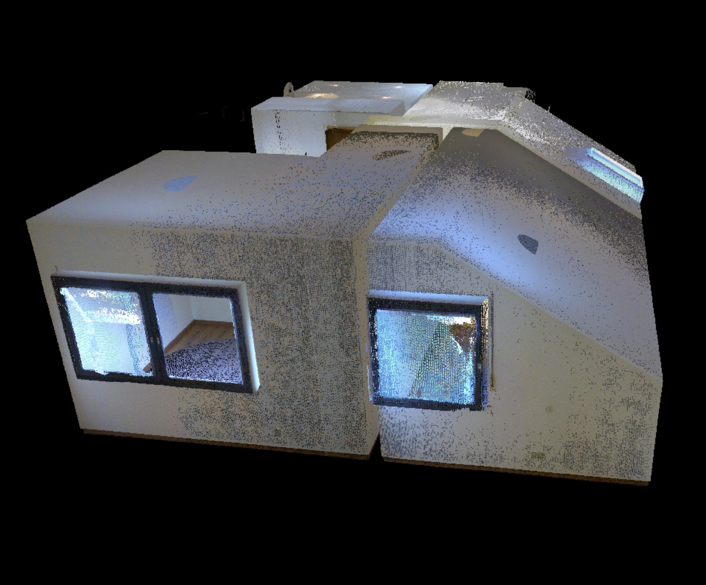
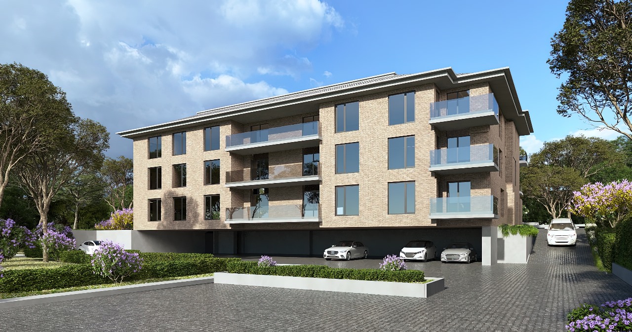
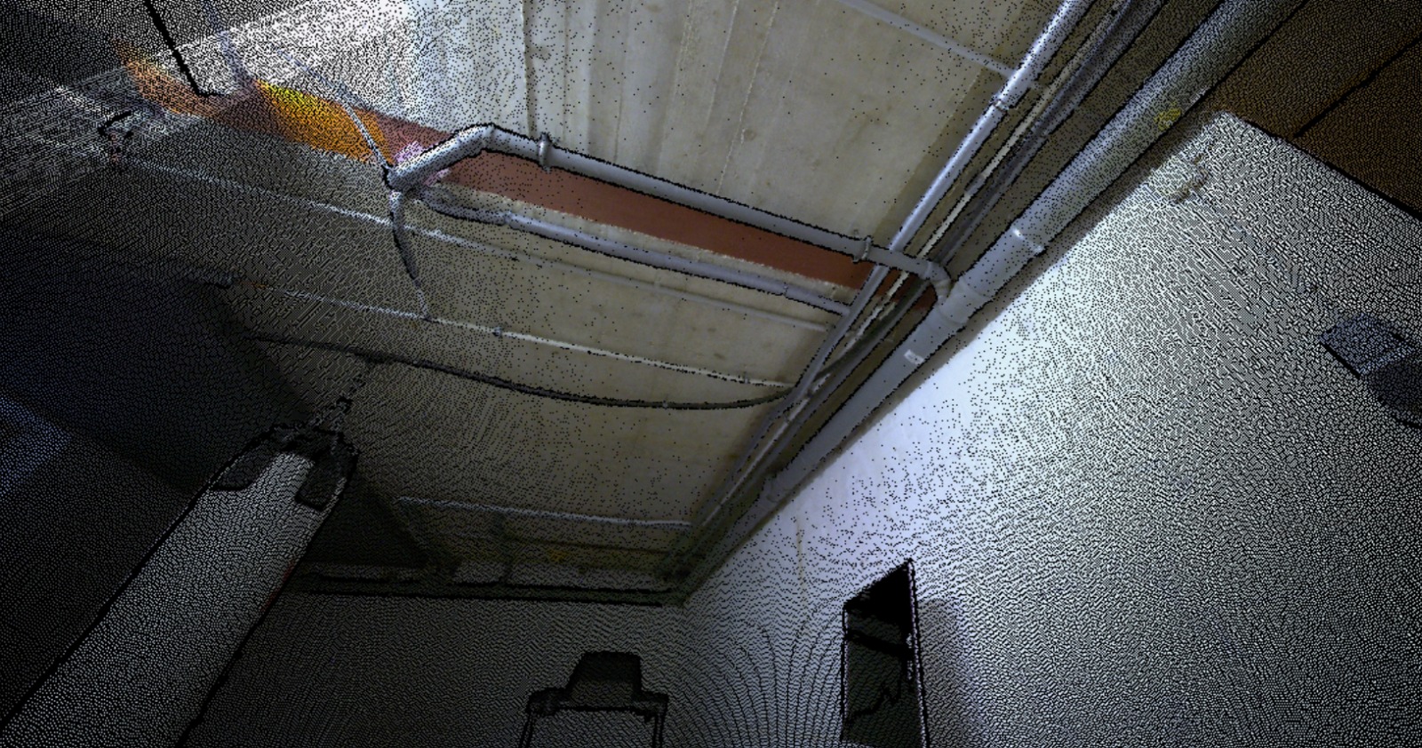
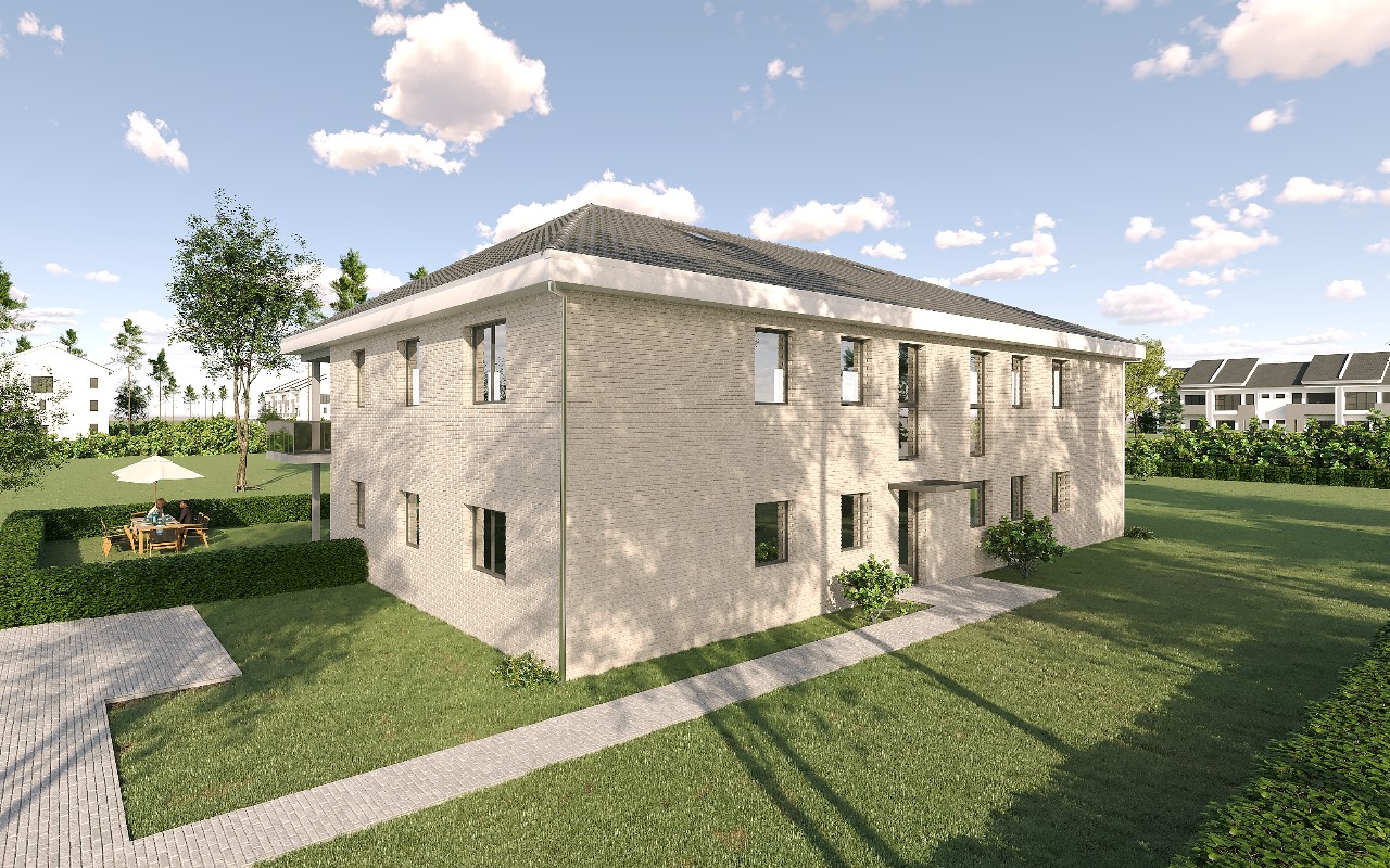
A selection of point clouds we processed into accurate BIM models, floor plans and visualizations.
Services Point Cloud
 BIM Model
 Point Cloud
 BIM Model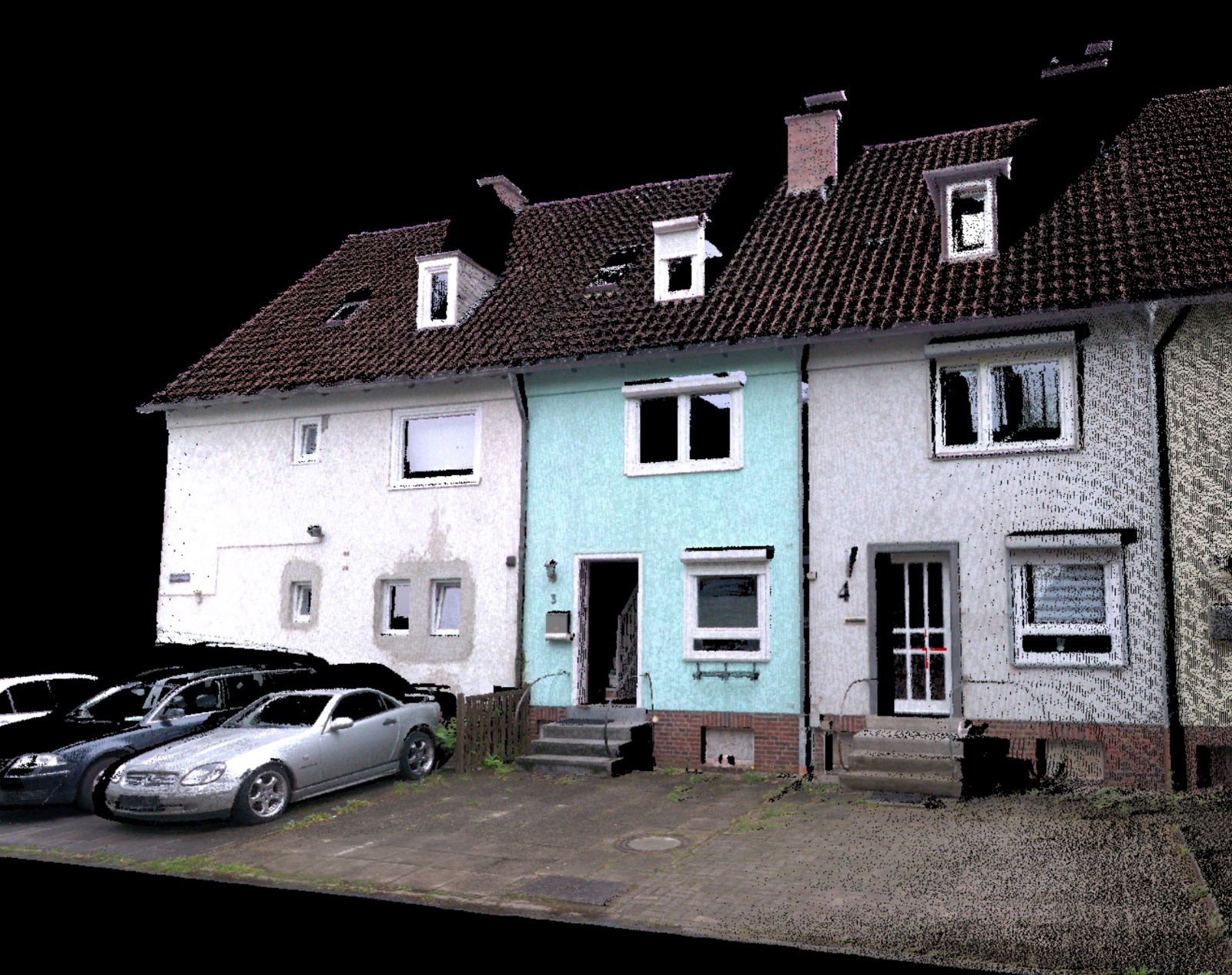
Engineering-grade quality. Delivered on time.
Four steps. Zero friction.
Every project is individually reviewed by our engineers.
- 01
Send your point cloud
Upload your scan data in any common format.
- 02
We analyze your project
Free scope review with a fixed quote.
- 03
We create the BIM model
Modeled to your LOD and standards.
- 04
You receive the files
Ready-to-use deliverables, on schedule.
Trusted by teams that build the built world.
Compatible with the tools you already use.
Answers, before you ask.
Start your project today.
Tell us about your project. We usually respond within one business day.